Southwest Iowa Roadtrip
Neil Bratney
April 20, 2002
Having just completed my second-to-last exam of my second year
of medical school, I left the large intestines behind and set out on a spur-of-the-moment
roadtrip into southwest Iowa. My goals of this trip were twofold:
-
Traverse the only decomissioned border-to-border Iowa state
highway.
- Bag all of the 10 state route termini in Fremont County.
I'm happy to say I completed both of these and more.
Route and Notes:
From my apartment in Omaha, east on Harney St., north on 24th Ave., east on
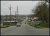
Burt St., north on 16th St., west on Locust St. across decomissioned IA 347.
Ok, my big goal #1 of crossing a border-to-border Iowa state highway wasn't
that lofty. IA 347 crossed the island of Iowa land on the Nebraska side of
the Missouri that comprises the city of Carter Lake, IA. For more info, and
pictures, see my
IA 347 termini page.
During the 1980's the state of Iowa decomissioned many of its city spur and
intra-city state routes. IA 347's decomissioning was sealed under these plans,
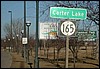
however, IA 165 remains, evidently carrying enough traffic between downtown
Omaha and its airport to warrant its continued designation as an Iowa state
highway.
South on Abbott Drive, across IA 165, via Capitol Ave and 16th St. through
the construction mess in Downtown Omaha, East on I-480, and into Iowa.
South on I-29 to IA 145, exit 20.
I-480 outlines the north side of Omaha on a viaduct. A new convention center
/ arena is being built on the north side of I-480, and the surface streets
leaving the north side of downtown are all in a state of flux now.
I-29 is multiplexed through Council Bluffs with I-80 and is horribly under-capacity:
only 2 lanes in each direction, and a average daily traffic count over 75,000.
Even Saturday afternoon, it felt tight.
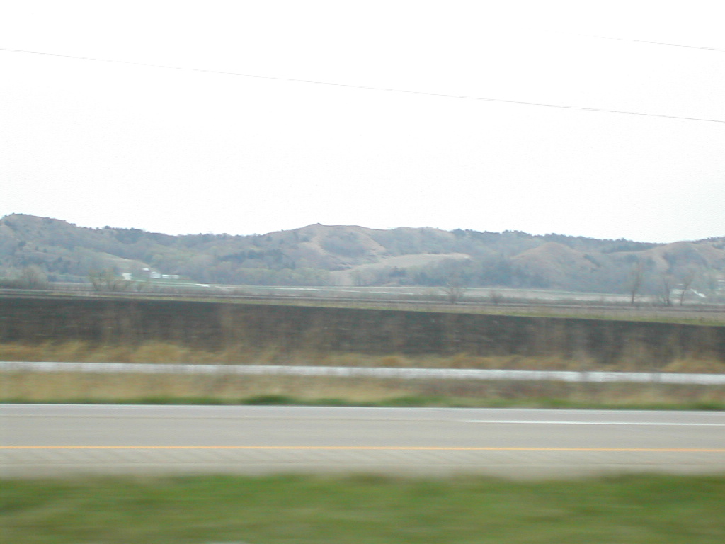
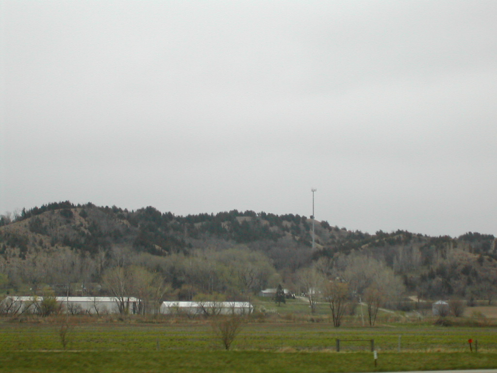
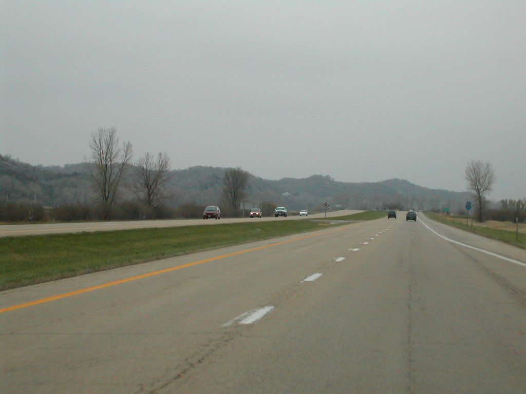
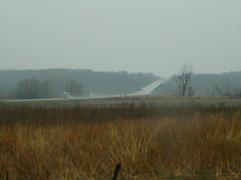
South of Council Bluffs, I-29 lies in the very flat Missouri River valley.
However, the flatness is nicely contrasted with the bluffs of the "Loess
Hills" on the left hand side.
Pictures:
|
|
|
|
|
|
|
Visit the IA
165 page for pictures of this road through Carter Lake. |
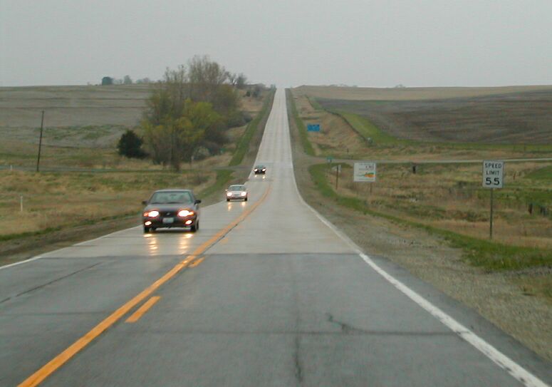
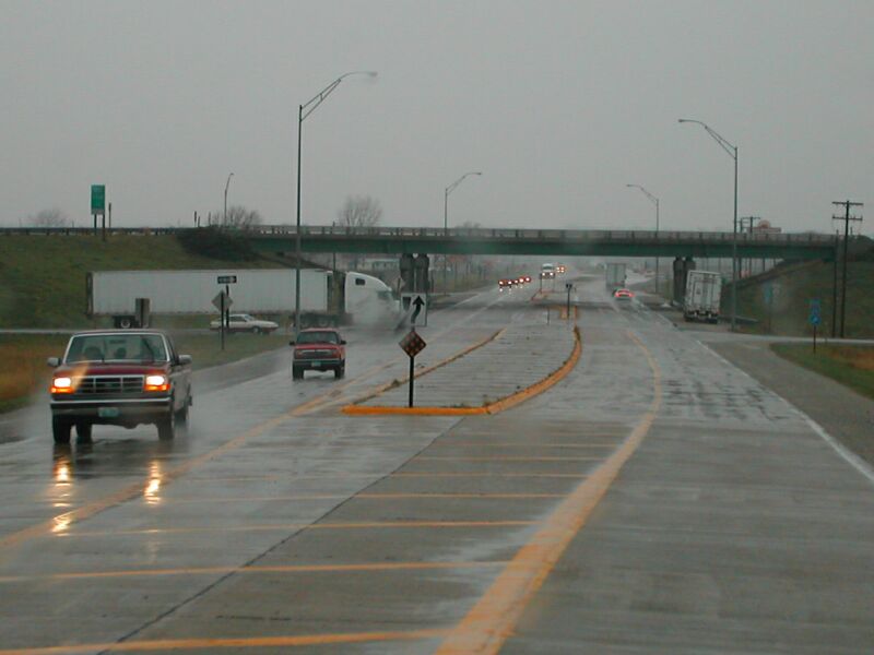
Approaching the I-80 junction on southbound I-29.
No control cities!
|
Exit here for I-80 west to Omaha.
|
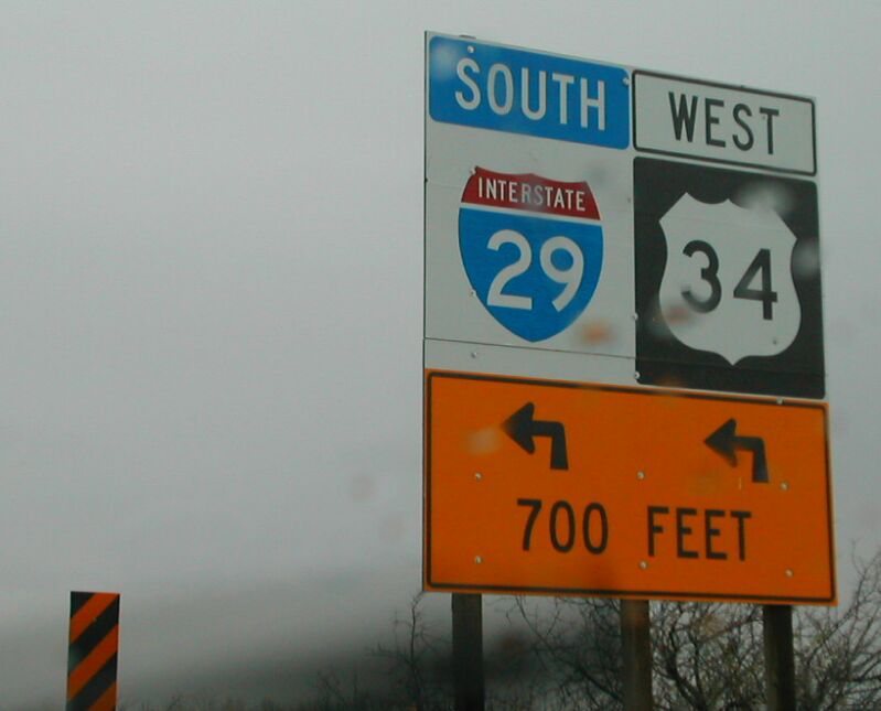
The north US 34 interchange (eastbound)
|
US 34 joins I-29 for a few miles, here.
|
The south US 34 interchange (westbound)
Plattesmouth is in Nebraska
|
Pictures of the Loess Hills from southbound I-29.
Is this I-29 or I-25? |
|
|
|
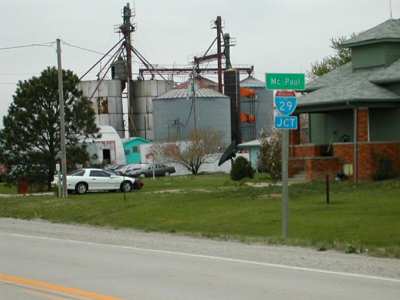
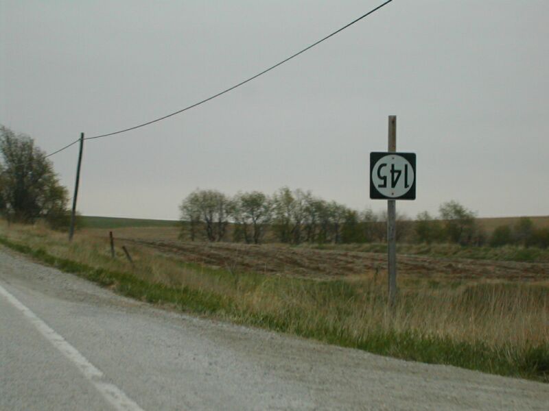
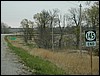
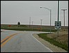
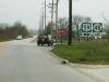
East on IA 145, through McPaul and Thurman, north on US 275, east on IA 184
through Randolph and past Imogene to US 59.
I took lots of pictures around the western terminus of IA
145. Fremont county seemed to enjoy conserving sign posts, putting as
many signs as possible onto the same post. When elsewhere in Iowa you'd see
certain signs together, and certain signs separated, things were all backward
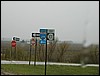
around I-29 in Fremont County.
At most Iowa interstate interchanges, a little sign indicates the interstate
exit number. It is usually placed with the "JCT I-XX" sign. However,
in Fremont county, it's moved to the first arrowed interstate sign. The "JCT"
sign looks quite bare.
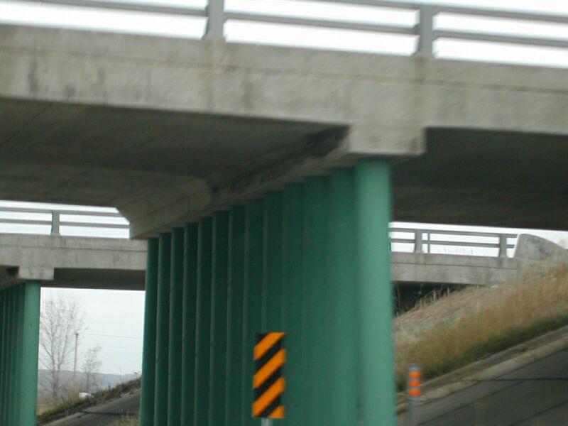
Also, look at the overpass bridge supports... they seem to be made of PVC
pipe. Hmmm.....
|
|
|
|
|
|
|
Visit the IA
145 page for pix of the western terminus. |
Unusual signage of the I-29 exit number.
|
What's holding this bridge up? PVC?
|
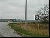
The I-29 JCT sign, is placed with the McPaul village
sign, and is missing its exit number sign.
|
This IA 145 sign had a little accident.
|
Visit the IA 145 page for pix of the eastern terminus.
|
| Visit the IA 184 pages for more pictures of its termini. |
West terminus
|
|
South on US 59, west on Page Co. J14, south on M41, south on IA 48, through
Shenandoah and east out of town on old IA 2, west on IA 2, south on US 59 to
Missouri border.
The next Iowa highway terminus on my agenda was IA
48, so I drove across a few county roads to intercept IA 48 about 7 miles
prior to its southern terminus. Just as IA 48 enters Shenandoah, it turns
west to intercept US 59 on the north side of town. In doing so, it crosses
the Wabash Trace Nature Trail, the same path I bicycle on every other day
in Council Bluffs. It think, however, it would be too hefty of a trek to make
it to Shenandoah and back, as this would be at least a century ride, completely
gravel. Maybe something I can train for someother day. I think the Wabash
railroad station is at the north side of town, and the CB&Q station was
downtown.
Old IA 2 was the main road through town... it goes southeast to northwest.
The hospital is on this road at the southeast corner of town, and is ironically
run by Nebraska Health System,
who, in fact is run by my medical school, UNMC.
I found IA 2's current alignment, a mile south of Shenandoah, and followed
it back to US 59. Then I took US 59 down to the Missouri border, just so I
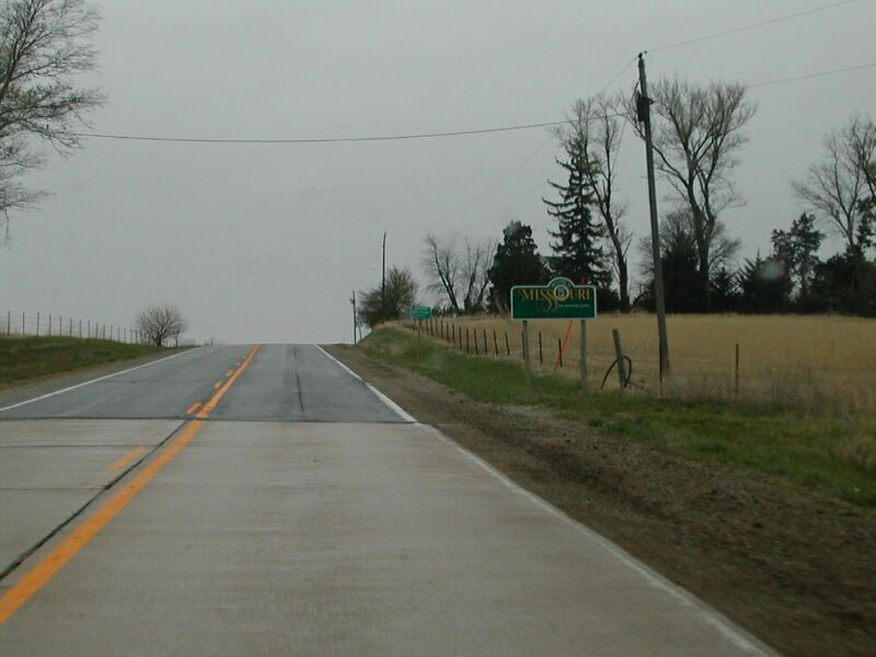
could say I visited Missouri. HA!
|
|
|
|
|
Visit the IA
48 page for more pictures of its south terminus. |
Entering Missouri, southbound on US 59.
|
Re-entering Iowa.
|
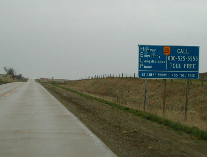
I hadn't seen these Iowa State Patrol signs anywhere
but interstates. Here's one on US 59 at the border.
|
North on US 59, west on IA 333, jogged to south to state border and back on
L72, continued west to I-29.
Got pictures at the next terminus on my list, the east end of IA
333. I guess 333 actually used to begin here and go east toward Northboro,
but that is now switched with J64 heading east and 333 heading west. IA 333
parallels the Missouri border just over one mile to the north. Nonetheless,
I was surprised to see distance signs pointing toward Missouri cities on Fremont
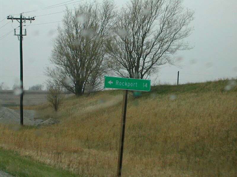
county roads. The sign at the L72 intersection indicated it went to Rockport
[Missouri], so I hung a quick left. No real indications at the border crossng,
other than a change of pavement.
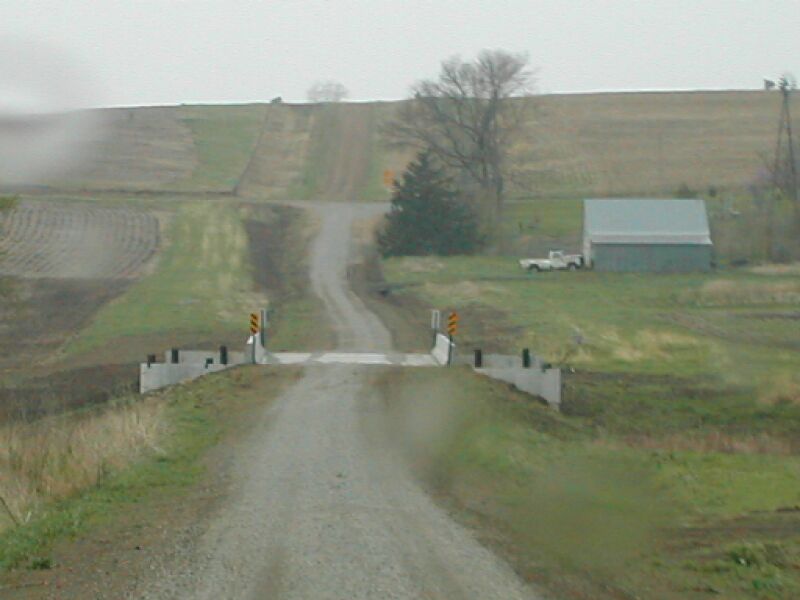
I thought I'd be cool, and take a gravel road following the border. This
road seemed to be another good 'ol Iowa "Class B - Minimum Maintenance
Road - Enter At Your Own Risk," but was recently upgraded (?) with a
new layer of gravel and the warning signs removed. There was also a brand
new bridge along this road, that actually looked about three times too wide.
Unfortunately, despite improvements, the road still wasn't good enough on
this rainy day, so I headed back to IA 333.
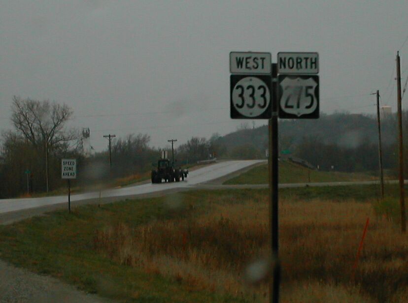
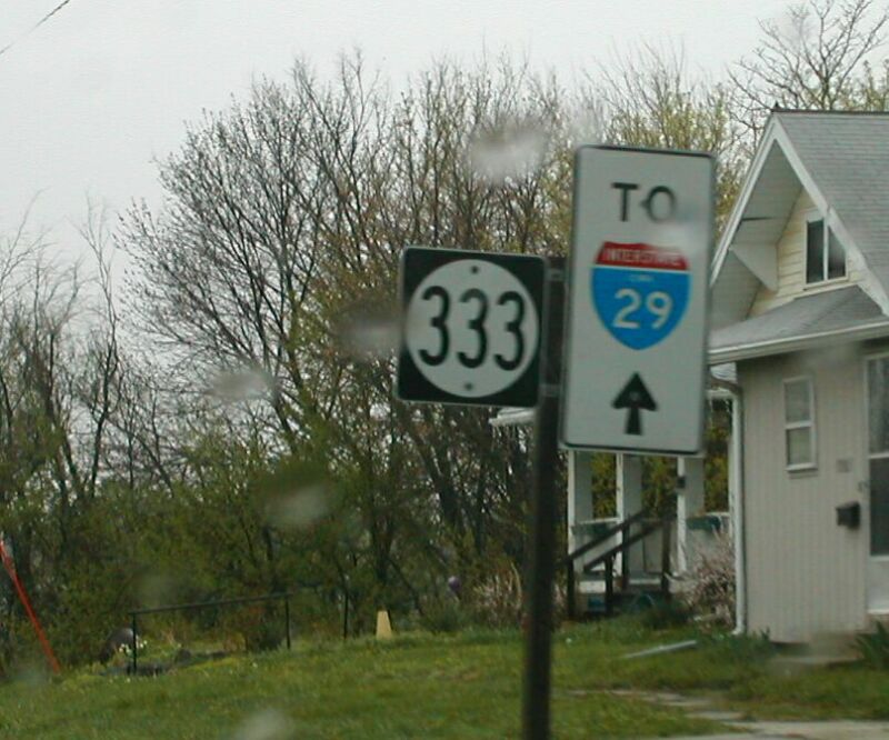
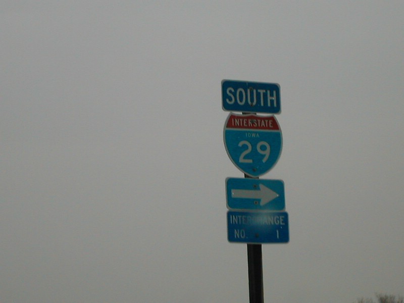
IA 333 is multiplexed with US 275 thru Hamburg, then it turns and heads west
to its terminus at I-29, exit 1.
|
|
|
|
|
Visit the IA
333 page for pictures at its eastern terminus. |
The signage for Rockport at the IA 333 / L72 intersection.
|
New and improved gravel road! Rock on mud.
|
Another picture of the condition of this road.
|
|
|
|
|
|
|
|
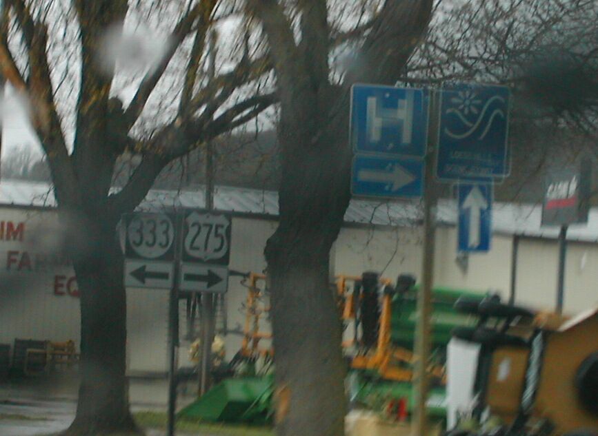
IA 333 and US 275 are multiplexed east of Hamburg,
over the Nishnabotna River.
|
IA 333 and US 275's junction in Hamburg.
|
Travelling on IA 333 thru Hamburg, you're pointed
toward I-29.
|
|
Another case of a misplaced exit number sign.
|
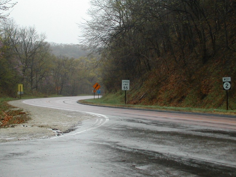
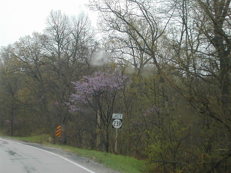
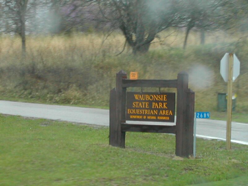
Returned to Hamburg, then north on L44, west on IA 2 to IA 239 and Waubonsie
State Park.
L44 north from Hamburg is a very scenic drive, hugging the edge of the Loess
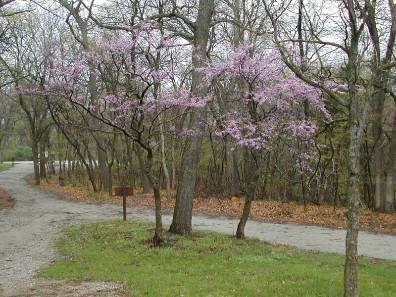
Hill bluffs over the Missouri valley. I turned right onto East IA 2, and entered
the forested hills. Despite being a cool, rainy spring day, the scenery was
beautiful, as all the trees were just coming into leaf. Pictures were taken
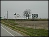
around IA 239's termini, and inside Waubonsie State Park.
|
|
|
|
|
|
|
|
Descending IA 2 from Waubonsie State Park.
|
Approaching the turn-off to IA 239.
|
|
The equestrian area is on the north side of IA 2.
|
View from the overlook in Waubonsie S.P.
|
Inside the park. Sad that I think, "Nice study
place..."
|
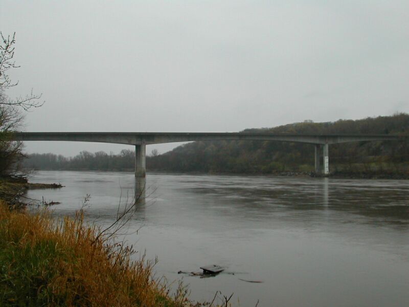
Followed IA 2 west to Nebraska border, returned east on IA 2, north on L31,
west on US 34 to Nebraska border.
The first few miles of IA 2 are part of the Lincoln, Neb., to I-29 cut-off
expressway. IA 2 is four lanes here, and carries quite a bit of traffic. There's
a massive new four lane bridge over the Missouri. I drove around in the mud
for a little while (and had fun doing it!) looking for a good spot from which
to photograph the bridge.
I followed L31 north from IA 2, paralleling I-29. Only the southern four
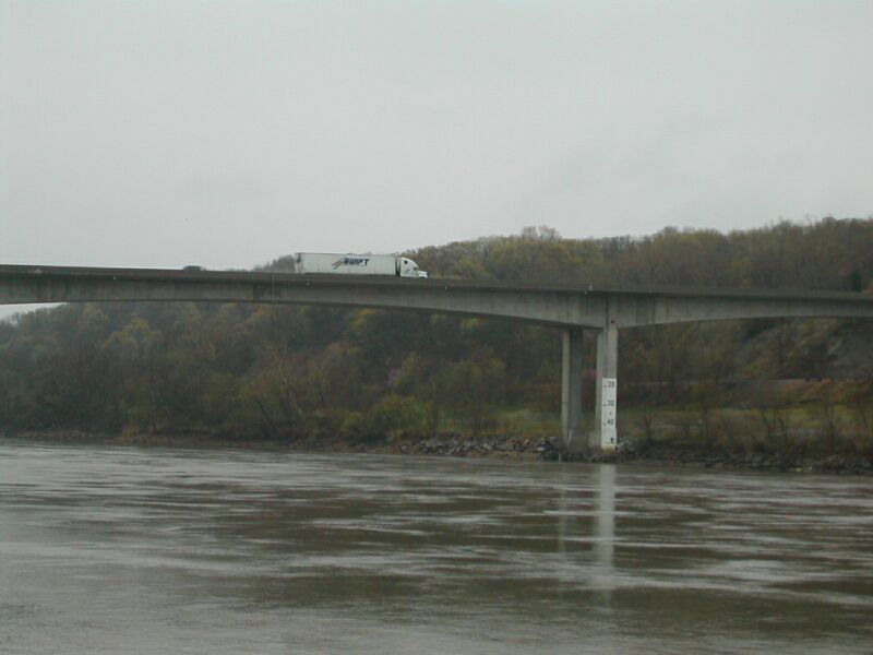
mile miles of Mills County were gravel between IA 2 and US 34. I returned
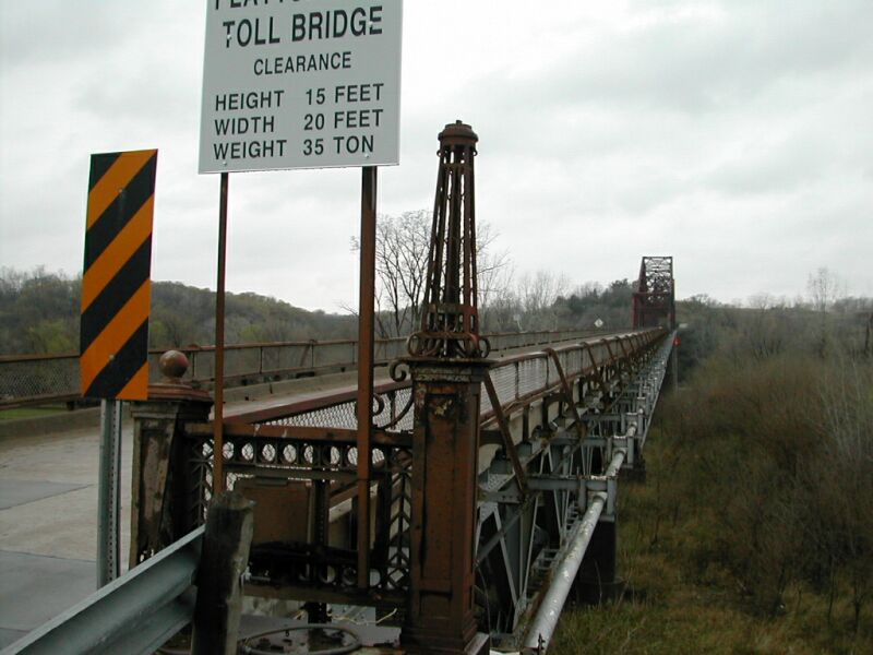
to the river to take some pictures of the old US 34 bridge, built in the early
1930s. Up close, the approaches were quite ornate, appearing to have once
held lamps or some other decoration.
|
|
|
|
|
|
|
The IA 2 expressway begins at the I-29 junction.
|
IA 2 approaches the Missouri River. Click
here for the IA 2 terrminus page. |
The IA / NE 2 bridge over the Missouri River.
|
Another shot of the bridge. Check out the semi to
judge scale.
|
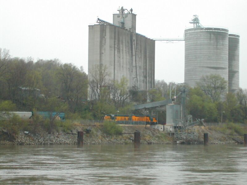
A train was parked across the river at the elevator.
Former CNW still needing a UP paintjob? Private?
|
|
|
|
|
|
|
|
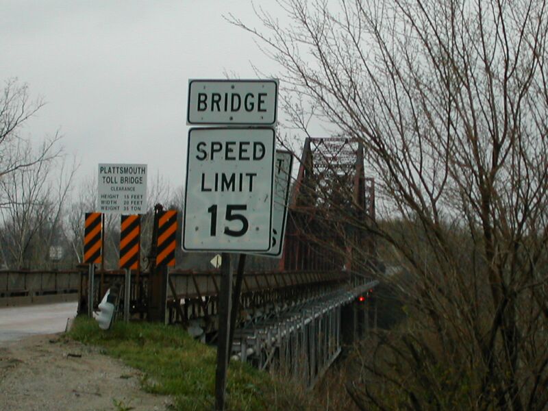
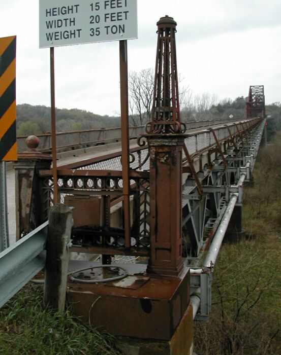
The US 34 Bridge. The roadway is so narrow, that the
15 MPH speed limit must be followed.
|
Ornamental post on the right side of the bridge.
|
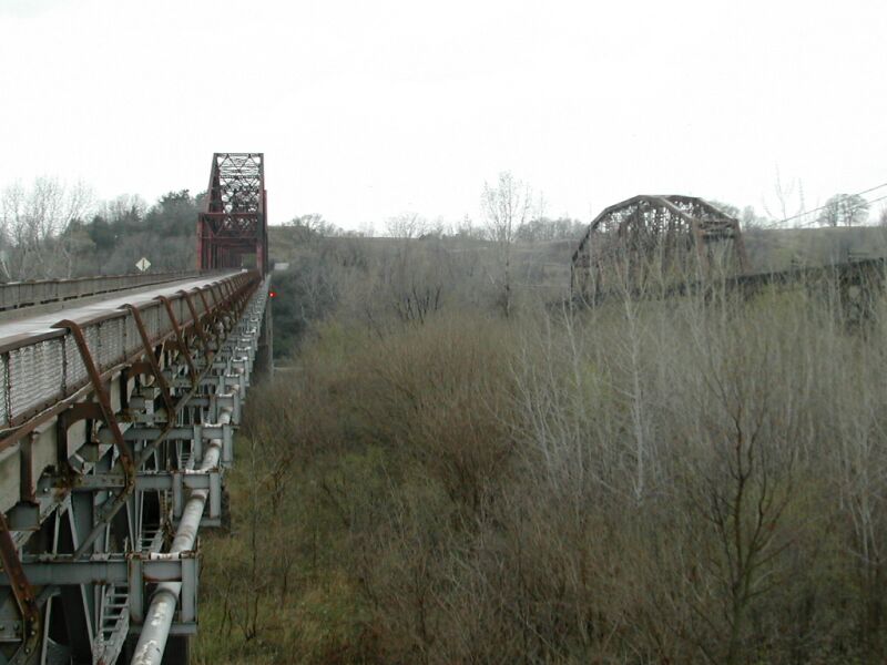
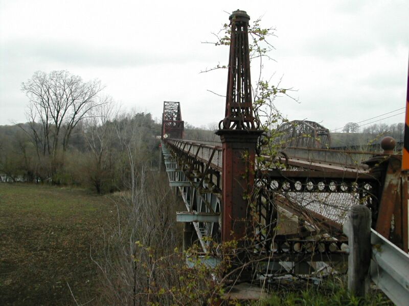
You can see the BN railroad bridge paralleling the
highway bridge.
|
Another view of the beginning of the bridge.
|
The left bridge entrance is overgrown with vines.
|
East on US 34, north on I-29, west on I-80, north on I-480, west on Farnam
St. to my apartment.
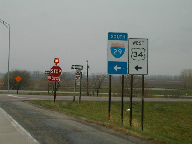
Back at the US 34 / I-29 junction, I noticed that a farmer, trying to burn
weeds out of his ditch, had accidentally burned down a DOT distance sign.
Oops! Also noticed at the north US 34 interchange, strange-style guide/directional
signs. Instead of using normal shields, they had big banners. I think I remember
seeing signs like this on I-35 in northern Iowa. Anyone else?
Finished off the trip by cruising home on the interstate. I had left at 1:30
PM, and returned at 7:00 PM.
|
|
|
|
|
|
|
Hot stuff! How long till the DOT notices this??
|
Don't miss the turn! US 34 turns south here to join
I-29.
|
Older style banner signs; even with a cut-out US 34
shield.
|
Approaching I-80 on northbound I-29.
|
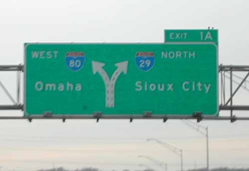
The I - 80 / 29 split: Exit 1A, just before crossing
the river.
|
Written by Neil Alexander Bratney
Questions? Comments? Like to use a file?
Please e-mail me.
Go to Neil Bratney's Homepage.
Page Created April 28, 2002.